Bringing more automation and accuracy to 3D mapping technology
A research team from the Geneva School of Economics and Management (GSEM) and the EPF Lausanne have combined artificial intelligence with a new algorithm to create a method that considerably reduces the time and resources needed to accurately scan complex landscapes and potentially holds the key to automated drone mapping.
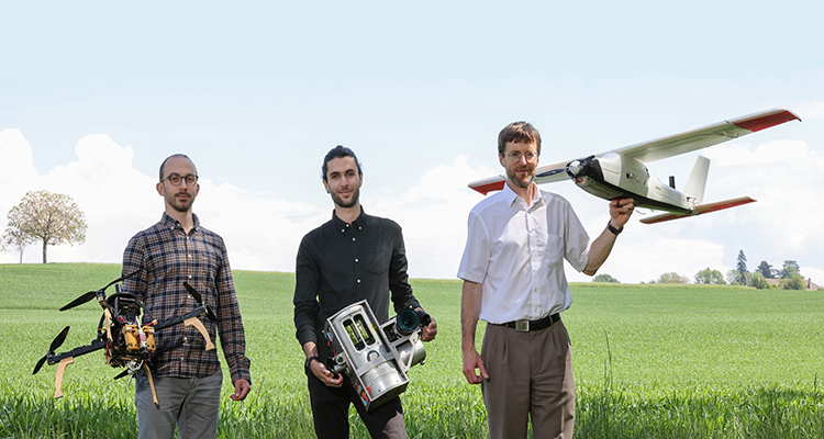
The new method was developed by Davide A. Cucci (Senior Research Associate at the GSEM's Research Center for Statistics), Aurélien Brun, and Jan Skaloud and is detailed in an article published in the ISPRS Journal of Photogrammetry and Remote Sensing.
Three-dimensional (3D) mapping has a variety of applications such as monitoring construction sites, tracking the effects of climate change on ecosystems, and verifying the safety of roads and bridges. However, the technology currently used to automate the mapping process is limited, making it a long and costly endeavor.
LiDAR laser scanners beam millions of pulses of light on surfaces to create high-resolution computer-based replicas of objects or landscapes. Lasers are particularly effective at collecting spatial data as they are not dependent on ambient light, can collect accurate data at large distances, and can “see through” vegetation. But their accuracy is often lost when they’re mounted on drones or other moving vehicles, especially in dense cities, underground infrastructure sites, and places where GPS signals are interrupted. This results in gaps and misalignments in the data points used to generate 3D maps and can lead to a double vision of scanned objects.
“For now, there’s no way to generate perfectly aligned 3D maps without a manual data-correction step,” says Davide Cucci. “A lot of semi-automatic methods are being explored to overcome this problem, but ours has the advantage of resolving the issue directly at the scanner level, where measurements are taken, eliminating the need to subsequently make corrections. It’s also fully software-driven, meaning it can be implemented quickly and seamlessly by end-users.”
The team's method leverages recent advancements in artificial intelligence to detect when a given object has been scanned several times from different angles. The method involves selecting correspondences and inserting them into what’s called a Dynamic Network, to correct gaps and misalignments in the laser-point cloud.
> Read the University of Geneva press release.
> Click here to read the press coverage of this announcement.
2022